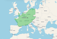
Maps
- Thread starter AdrianH
- Start date


Take me home, Roman roads
A high-resolution ‘Google Maps’ for Roman roads includes nearly 300,000 kilometres of viae Romanae. It brings together fragmented data sets to show the full glory of the network that connected the empire around AD 150, when it was at its biggest. But “although the roads are one of the best-known aspects of Roman history, it’s surprising how many details about them we still don’t know,” says historian Catherine Fletcher. The data set reveals that the locations of only 3% of Roman roads are known with certainty.
894 hours
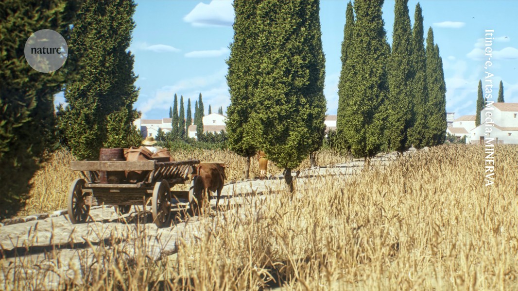
The time I should allow to get from Londinium to Rome in my ox cart (not counting the Rutupiae-Gesoriacum sea crossing), according to the Itiner-e Roman-road route-planner.
 www.nature.com